
Trace an East Windsor Street
An address-first search works best when every step answers a different question. Normalize the house number, street name, suffix, direction, unit, municipality, and ZIP first. Keep an old spelling separately instead of replacing it. Check the mailing ZIP with the USPS ZIP Code Lookup, then compare the postal label with the civil municipality shown by Mercer and East Windsor records. A Hightstown or Cranbury postal label may still require an East Windsor Township property search.
- Locate the address in the Mercer parcel layers and record the road, municipality, PAMS_PIN, and block or lot-style identifier shown there.
- Use the Mercer Street Index, the East Windsor assessor route, or the township tax-bill search to find the property record for the correct tax year.
- Search the Mercer Clerk index by town and block/lot, then use legal description, party, instrument, book/page, or date fields when an earlier document is known.
- For a dated household lead, check the Criss-Cross address side, a newspaper issue, census material, or a directory edition and record its year.
- Compare the source dates before drawing a conclusion. A listed address, a tax account, and a recorded owner are different relationships.
This East Windsor street workflow is address to parcel identifier to document trail to dated historical listing. It avoids calling a current map, tax account, or printed directory a complete household list.
East Windsor Street Parcel Trail
The public-facing county Property Information Portal is closed, so it should not be treated as an open owner map. Mercer does make its ArcGIS parcel map service inspectable. Its layers include parcels, blocks, roads, buildings, parcel sales, municipalities, water, and open-space areas. The parcel layer supports polygon geometry and identifies PAMS_PIN information, but county materials say owner names are redacted from the parcel map. Use it to establish where a parcel sits and what touches it, then move to tax and deed records for party information.
The map service is useful before a name search because it helps avoid a wrong street segment or town. Capture the parcel identifier, the road name, and the municipal relationship. If the address has a unit, quad, or condominium designation, preserve it as displayed. A broad street name alone can join unrelated places. The official East Windsor Interactive Map is also a municipal route, although its exact search controls were not documented in the research.
The Mercer ArcGIS parcel map service is the source shown below. It is a current geographic layer, not proof that a named person lives at an address.
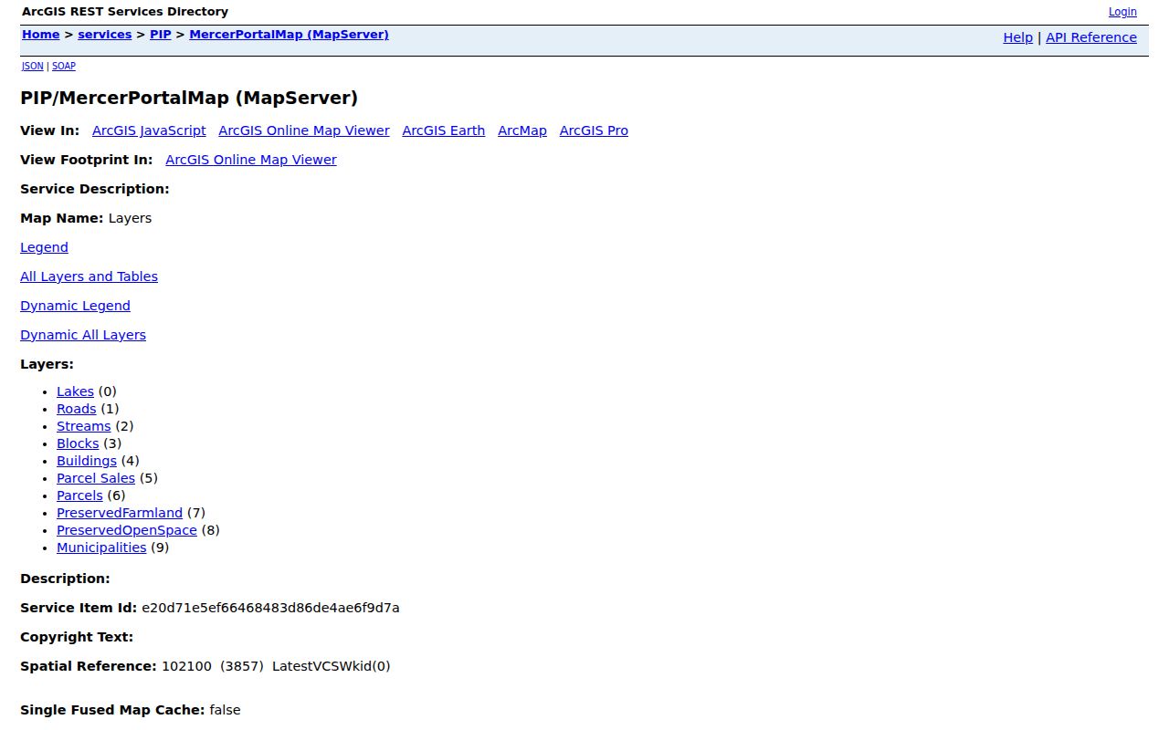
For East Windsor, the parcel, road, building, block, and municipality layers give a street search a reliable geographic starting point before separate record systems are consulted.
East Windsor Street Search Fields
Mercer’s public land-record search offers more than a surname box. Choose East Windsor or Hightstown in the town field, then use block and lot when the address has already been tied to a parcel. The portal also provides party, instrument number, book/page, legal-description, date-range, consideration, and board or commission fields. For a common name, block and lot can be the tighter way to inspect a particular property record.
| Field | Use for an address trail | Research caution |
|---|---|---|
| Town | Select East Windsor or Hightstown | They are separate modern municipalities |
| Block and lot | Tie an instrument to a parcel | Verify the identifier against the map or tax record |
| Legal description | Find older tract or subdivision wording | Compare it with the recorded map |
| Party name | Check grantor and grantee variants | Portal syntax is Last-Name First-Name, without commas |
| Instrument or book/page | Retrieve a known record trail | Read the document details and status notice |
| Date range and consideration | Narrow an instrument sequence | A reported amount is part of a document record, not occupancy proof |
Results can carry R for a replaced record, C for a correction record, and an asterisk on certain unverified-party records. The search result shows its retrieved range and total, and the details view should be read before a document is added to the street trail. The Clerk’s public index is one access channel; the Records Room is the fallback when the online result does not answer the question.
Note: Record the exact town selection because a historical address may appear under Hightstown even when a current search begins in East Windsor.
East Windsor Street Record Coverage
Street-by-street evidence is spread among separate custodians. The Mercer County Board of Taxation names a Street Index for properties by location and an Alpha Index for owners by name. East Windsor’s assessor maintains parcel records, the tax list, and a community tax map. The township-linked tax-bill service can search by property number or street, but a billed party or mailing contact is not a finding that the person occupies the property.
| Address record | Custodian | What it can establish | Access route |
|---|---|---|---|
| Parcel and road geometry | Mercer Planning ArcGIS | Current parcel shape, roads, blocks, buildings, municipality | Inspectable public map service, with owner names redacted |
| Assessment and street index | Mercer Board / East Windsor Assessor | Location-oriented tax and parcel context | Board reports, assessor contact, community tax map |
| Tax bill and account | East Windsor Tax Collector | Property number, street, billed party, and account status | Township-linked tax-bill search, current and prior three years stated |
| Recorded instruments | Mercer County Clerk | Parties, legal description, consideration, book/page, block/lot | Public index and Trenton Records Room |
| Historical address listing | Princeton Library / local collections | Dated name, address, telephone, or reverse listing where present | Criss-Cross volumes and regional directory sources with gaps |
Construction records form another East Windsor address channel. East Windsor uses an SDL cloud portal for permit applications, inspections, and status; it requires an account. Applications may also go to the department desk or drop box, and written UCC inspection requests go to the Construction Department. The research did not verify public SDL search fields, so a permit search should be routed through the official department rather than treated as a public address index.
Voter records use a separate route. The official New Jersey status check was access-restricted during research, so a failed browser response is not a no-record result. Mercer’s Superintendent of Elections accepts voter-list requests that identify the requester, address, description, and required noncommercial-use statement; its page points to Title 19 fees and request rules. A voter field or status must still be labeled as election-record information, not automatic proof of present residence.
Note: Preserve the tax year, document date, or directory edition because East Windsor address records can describe different roles at different times.
East Windsor Street Deed Chain
A deed is a conveyance document, not a roster of everyone at a property. Begin with the relevant block and lot, town, or legal description, then follow each recorded instrument backward by its grantor and grantee. The Mercer Clerk says its collection holds documents affecting real property since the county’s 1838 incorporation. Earlier property questions may reach into predecessor-county records instead. At the Clerk’s Records Room, 209 South Broad Street in Trenton, staff can familiarize visitors with computerized recording and indexing systems but do not perform title searches.
- Parcel
- A mapped unit of land used to connect geographic and tax records. Mercer’s service can show its shape and identifiers.
- Situs address
- The physical property location in an assessor or tax record. It can differ from the mailing address shown for a billed party.
- Plat or recorded map
- A map or subdivision record used to reconcile a legal description with land on the ground.
- Criss-Cross directory
- A reverse directory organized by street address or telephone address, useful for a dated historical listing rather than a current household count.
An East Windsor property chain should preserve document date, instrument number, book/page, instrument type, from party, to party, consideration, municipality, block/lot, legal description, source link, and status. The county lists public inspection on weekdays from 8:30 a.m. to 4:30 p.m.; confirm the current procedure before going. Fees and online image coverage should be checked with the Clerk rather than assumed from an index result.
Note: Mercer’s land-record collection begins with the county’s 1838 incorporation, so an earlier property trail may need a predecessor-county record.
East Windsor Street Postal Labels
Postal and civil labels are a real East Windsor street-directory issue. USPS material associates township addresses with 08520, whose preferred postal city is Hightstown, and 08512, whose preferred postal city is Cranbury. The 08512 ZIP spans Mercer and Middlesex Counties. Neither postal city nor ZIP alone decides the municipal boundary. Run the complete address through USPS first, then confirm the parcel’s municipality, county, and identifiers through tax, GIS, or Clerk sources.
The official USPS ZIP Code Lookup shown here is the appropriate address-level check. It should be used for a complete address rather than a claim that every named street or neighborhood has a fixed ZIP.
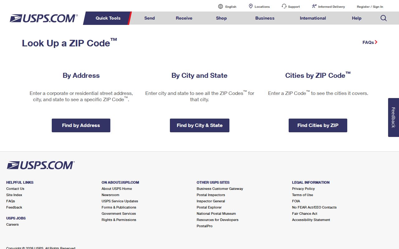
For an East Windsor street search, the USPS result supplies a postal label; Mercer and township records supply the separate civil and parcel context.
East Windsor historic sources deserve the same care. A directory or newspaper may correctly print Hightstown, Etra, Dutch Neck, Wyckoff Mills, Old York, Old Cranbury, or Princeton-Hightstown Road for its date. Preserve the source spelling and date instead of forcing it into a modern postal label.
East Windsor Street Place Names
Old place names can make a sound street search look like a failed one. Hightstown incorporated from East Windsor in 1853, and official borough history lists further East Windsor portions annexed in 1913, 1915, and 1927. Search both municipal labels when working with a deed, directory, map, or newspaper near that boundary. Then reconcile the record using block and lot, legal description, map sheet, landmark, or date.
This is also where the local historical collections help. The Hightstown-East Windsor Historical Society holds newspapers, maps, books, photographs, and publications dating to the mid-1800s. Its material can help place an older road or locality in context. It does not turn a historical address mention into proof of current residence.
Note: Exact East Windsor street-renumbering or renaming dates were not located in official sources, so confirm an asserted address match with maps and Society material.
East Windsor Street Historical Listings
For an address that needs a historical household clue, use the reverse side of a directory rather than rebuilding a surname search. Princeton/Suburban Trenton Criss-Cross editions can include Hightstown and Cranbury and organize entries by telephone number and street address. They have edition and geographic gaps, so request the exact volume at Princeton Public Library’s family-history desk before relying on a missing result. The detailed collection paths belong on the East Windsor City Directory page.
Local newspapers add a date and context. Search an exact address or street, spelling variants, Hightstown, East Windsor, Etra, an organization, or a cemetery name in the Hightstown digital archive. Read the full issue and nearby pages. Notices can concern an estate, a meeting, an advertisement, an organization, or a relative, so their relationship to the address must be described precisely.
Sanborn maps are another check on the site, not the people. Selected Hightstown sets for 1885 through 1925 can show a building footprint, stories, material, use, and fire-risk features. Pair the map year and sheet with a directory or newspaper date before connecting it to a street history.
Note: A blank directory year can reflect a missing edition or geographic gap, so pair the result with a date-specific newspaper or census source.
East Windsor Street Data Limits
No address-by-street search can establish a complete household roster. East Windsor parcel geometry proves geography. A tax account may identify a billed party or mailing contact. A deed names a party to a recorded conveyance. A directory reports that someone was listed at a printed address in one edition. Voter records are governed by separate request rules, and their status is not sole proof of a current physical address. Utility customer lists, DMV address information, and protected Address Confidentiality Program addresses are not a public street-search substitute.
When a record is held by the township rather than published online, identify the department and request only the defined record. The municipal clerk is the custody route for municipal records, while New Jersey’s Open Public Records Act sets the state framework for public-record requests and exemptions. Preserve any redaction and response date instead of guessing what was withheld.
East Windsor Street Request Route
Start with the custodian most likely to hold the address record. For the parcel and assessment layer, use the East Windsor Tax Assessor or Mercer Board of Taxation. For a recorded conveyance, use the Clerk’s public search or Records Room. For a current tax account, use the township-linked tax-bill route and retain its displayed tax year. For a permit, ask the Construction Department about the SDL account route, desk, drop box, or written inspection request. This avoids sending a broad request to an office that cannot answer it.
For historic East Windsor street evidence, move from the Clerk and tax sources to library directories, newspapers, census material, Sanborn maps, and the Historical Society. Each source needs a date, the place label printed there, and a clear statement of what it actually shows. That slower sequence is more useful than treating an address as a shortcut to private household data.