
East Windsor ZIP Code Directory Postal Routes
East Windsor has more than one postal route in official source material. The two verified ZIP codes are 08520, whose preferred postal city is Hightstown, and 08512, whose preferred postal city is Cranbury. Neither postal city label establishes the legal municipality or county of a particular address. The East Windsor ZIP code directory therefore records both the postal result and the civil location before a parcel or resident-oriented record is searched.
| ZIP code | Local postal use | Post office listed in USPS material | Search note |
|---|---|---|---|
| 08520 | Hightstown postal city; associated with Hightstown and East Windsor addresses | Hightstown Post Office, 150 Mercer Street | Postal city is not the legal municipality. Verify the full address. |
| 08512 | Cranbury postal city; used for an East Windsor edge area | Cranbury Post Office, 65 North Main Street | USPS identifies this ZIP as spanning Mercer and Middlesex Counties. |
| Additional ZIP | Not located in official sources as a separate East Windsor-serving route | Not located in official sources | Do not assign a ZIP from a neighborhood name. |
The table is a starting point, not a boundary map. Exact ZIP boundary streets and neighborhood assignments within East Windsor were not located in official sources. An address can be deliverable under a Hightstown or Cranbury postal label while its tax parcel and municipal record identify East Windsor. Preserve each label exactly as its source uses it.
Verify an East Windsor ZIP Code Address
Use the USPS ZIP Code Lookup with the complete street address. Its ZIP-to-city mode is useful as a first check, but it cannot settle the civil boundary question. Record the response date because postal routing can change. USPS directs users to its address tools for deliverability and current ZIP reference, while the township and county sources identify the civil parcel behind that postal answer.
| USPS lookup input or output | How to use it in an East Windsor search |
|---|---|
| Complete street address | Use it for address-to-ZIP verification before opening a local record. |
| ZIP-to-city mode | Use it as an initial place check, never as proof of civil municipality or county. |
| ZIP and ZIP+4 when supplied | Save the postal result with the address and retrieval date. |
- Enter the complete current address in USPS and save the ZIP, postal city, and ZIP+4 when supplied.
- Check the municipality, block or lot, and parcel identifier in township, assessor, or Mercer map sources.
- Use the Mercer Clerk’s index by town, street, block and lot, party, or legal description. A dedicated ZIP-only filter was not observed.
- Label every result as postal, parcel, tax, deed, or directory evidence, then compare the dates before making a connection.
Once a ZIP has narrowed the geography, the East Windsor street directory gives the fuller address-by-address record path. It is better suited to a specific road or parcel than a ZIP-wide request.
East Windsor Postal Service Checks
Postal routes change more often than municipal boundaries. The USPS ZIP Code Basics resource explains why ZIP codes are delivery geography rather than a map of local government. That distinction is especially important for an East Windsor ZIP code directory because both Hightstown and Cranbury labels can appear in local postal use.
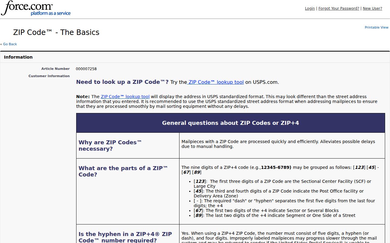
Use the Postal Service result to validate mail delivery, then retain the separate municipal and county result from local records.
The USPS AIS Viewer is an address-quality reference product that USPS updates monthly. Its viewer and printing limitations mean it should be used as current postal reference, not as a frozen map or a roster of people at an address.
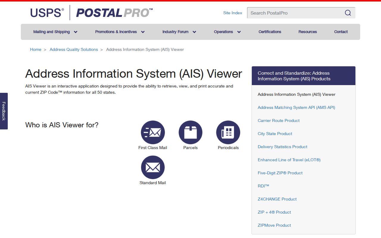
A retrieval date beside the ZIP result helps explain why a later postal answer might differ without changing the parcel’s historic record.
East Windsor ZIP Code 08512 Caveat
USPS material identifies 08512 as spanning Middlesex and Mercer Counties. For an East Windsor address using the Cranbury postal label, do not assign a county from the postal city or ZIP alone. Verify the specific street address, then compare it with the municipality and parcel geography. The same care applies to 08520: Hightstown is a postal city label, while Hightstown Borough and East Windsor Township are distinct civil jurisdictions.
The Postal Bulletin is the source for the postal association, but it does not define a street-by-street legal boundary. A record search should retain both values, such as “postal city: Cranbury” and “civil municipality: East Windsor Township,” rather than replacing one with the other. This is a geography issue, not evidence that an address belongs to the wrong jurisdiction.
Note: Treat a postal city as a mailing designation until a municipal parcel or official county record confirms the civil location.
Reconcile East Windsor ZIP Code Parcels
After USPS confirms the address, use the East Windsor Tax Assessor, the tax-bill property or street search, and Mercer geography to establish the parcel’s civil location. The Mercer ArcGIS service shows roads, blocks, buildings, parcels, municipalities, parcel sales, and PAMS_PIN or lot-style identifiers. It is useful for parcel shape and municipal relationship, but owner names are redacted and public Property Information Portal access is closed.
The next record is usually the Mercer Clerk deed index. Search by town and block or lot when available, then use party, instrument, book or page, legal description, or date fields as needed. A deed identifies recorded conveyance parties and a legal description. It does not prove who currently occupies the property. A tax bill may name a billed or mailing party, which also should not be substituted for an occupant list.
For an official municipal contact or department route, use the East Windsor Township contact directory.
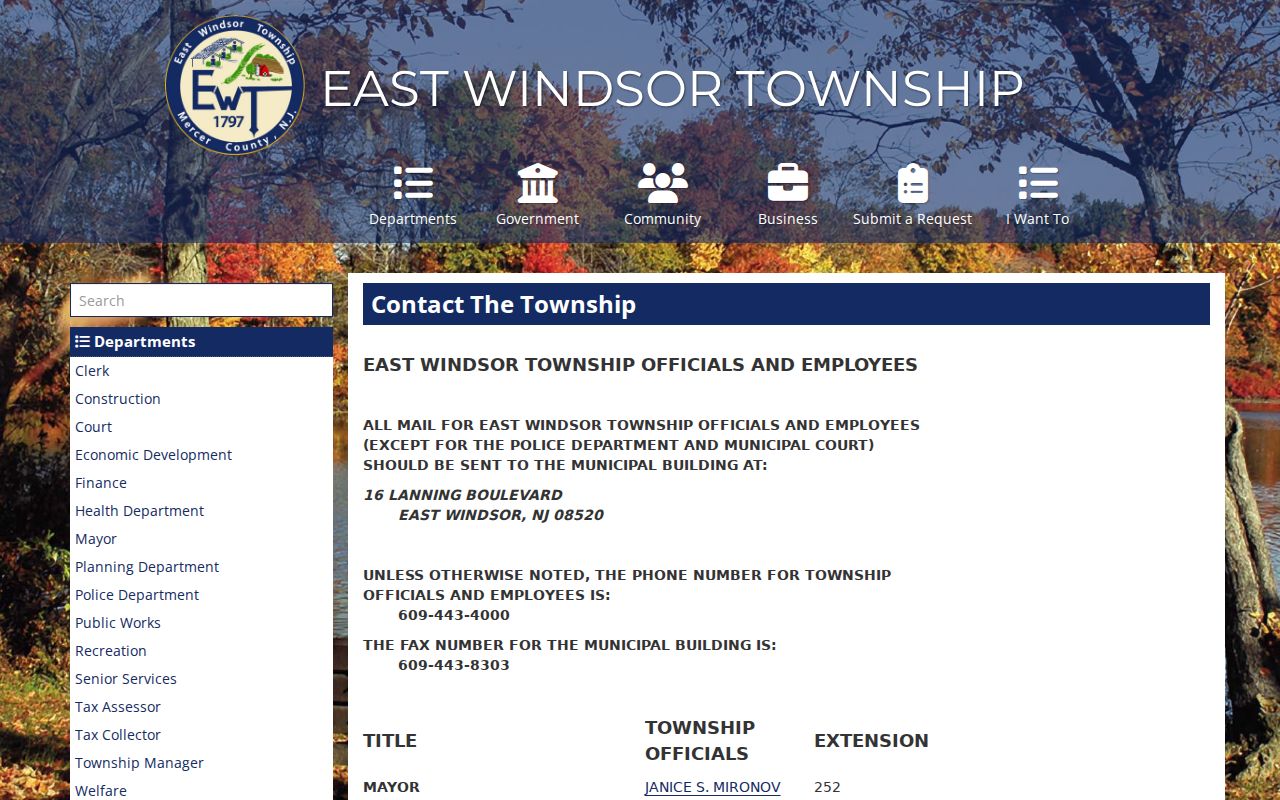
The municipal directory supports a custodian or department follow-up when a postal result must be reconciled with a township record.
East Windsor ZIP Record Notes
Keep the postal and civil facts in separate fields. A useful East Windsor record note includes the complete address, ZIP, ZIP+4 when USPS provides it, postal city, legal municipality, county, block or lot, PAMS_PIN when available, source URL, retrieval date, and any historic place label. This small record format makes a later review possible when a tax account, map layer, deed, or directory uses a different wording for the same place.
Source labels are just as important as the fields. Mark a Postal Service result as postal validation, a tax entry as an account or assessment record, a deed as a recorded instrument, and a historic directory as a dated listing. The current postal result should not overwrite a historical Hightstown label from a newspaper or directory. Likewise, an old label should not replace the township and county identification that a current parcel search provides.
East Windsor ZIP Deed Search Fields
The Mercer deed index does not present a verified simple ZIP-only control. That limitation is useful information. It means an East Windsor ZIP code search should be translated into fields the Clerk’s system actually supports: town, street or legal description, block and lot, party name, instrument, book or page, consideration, and date range. When a ZIP result identifies the correct address, use those identifiers rather than trying to force a postal filter into a land-record database.
Mercer describes its land-record collection as covering documents affecting real property since 1838. Exact online-image coverage by year was not located in official sources, so an index result may need a records-room inquiry or a copy request. Keep the document date, instrument number, and source status. A current postal ZIP and an old recorded description may use different place labels without referring to different land.
East Windsor ZIP Postal History
Historic records need a second geography check. Hightstown Borough was incorporated from East Windsor in 1853, and official borough history lists later annexations in 1913, 1915, and 1927. A historical directory, newspaper, deed, or map may correctly use Hightstown even when a current civil record is East Windsor. Preserve the source spelling and date, then compare block, lot, legal description, map, or landmark before treating the two labels as a mismatch.
Current GIS and historic maps answer different questions. Mercer’s map layers help identify a current parcel and road. Hightstown Sanborn sheets, available for selected years from 1885 through 1925, can show building footprint, material, use, and site context. Neither map type supplies a complete household list. Pair a map with a dated deed, directory, or newspaper record when researching a historic address.
East Windsor ZIP Boundary Limits
A ZIP code is not a resident list, property ownership record, or legal boundary. It is a postal routing tool. The careful record set for an address includes the complete address, ZIP, ZIP+4 when supplied, postal city, legal municipality, county, parcel identifier, source, and retrieval date. Mark a historic place name separately instead of overwriting it with the current postal label.
- ZIP versus ZIP+4
- A ZIP identifies a delivery area. ZIP+4 adds a smaller delivery segment for the particular address when USPS supplies it.
- Postal city
- The city name USPS associates with delivery. It can differ from the township or borough that governs the address.
- PO box ZIP
- A ZIP used for post-office box delivery. No East Windsor-specific PO box-only ZIP was located in the research.
- Carrier route
- A Postal Service delivery grouping. It is not a civil boundary or a list of households.
Address rule. Keep postal and civil labels separate, verify the complete address in USPS, and use the record custodian for any parcel or ownership question.